
Harboro Rocks - Peak District Walk
Saturday 20th May 2006
After a week when it hardly ever seemed to stop raining and with another week of rain forecast we took advantage of an apparent break in the rain to go for a short walk to nearby Harboro Rocks. The weather remained dry and quite sunny throughout our walk but within a minute of us leaving the car park it was raining again.
Start: Brassington car park (SK 234 547)
Route: Brassington car park - Limestone Way - High Peak Trail - Harboro Rocks (TP) - Brassington car park
Distance: 2.75 miles Ascent: 149 metres Time Taken: 1 hr 20 mins
Weather: Warm with occasional sunny spells.
Pub Visited: The Knockerdown, Knockerdown Ale Drunk: Black Sheep Special
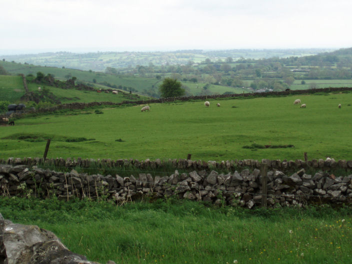
Looking south towards Bradbourne from the Limestone Way.

I experiment with the macro setting on my camera to take a close-up of one of the many cowslips in the fields.
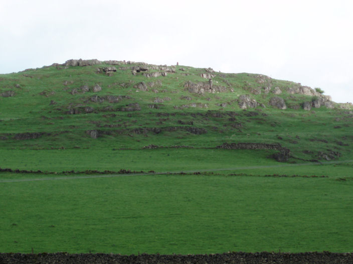
Harboro Rocks from the Limestone Way.
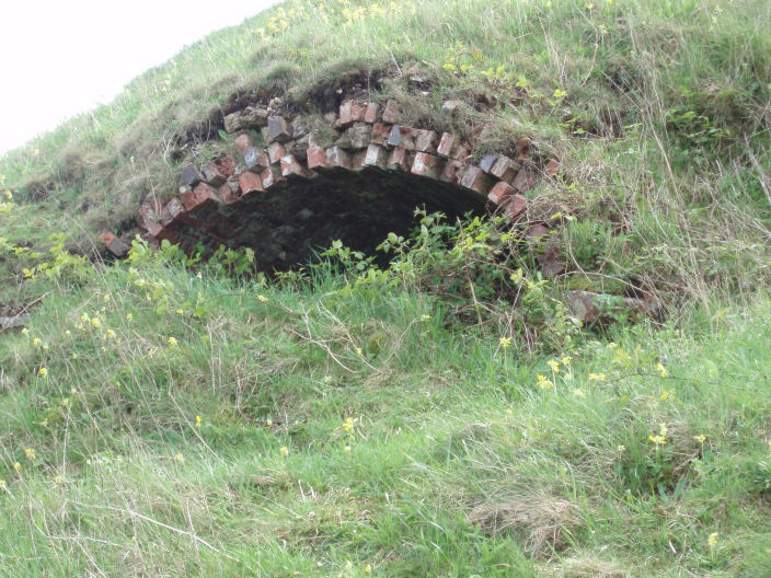
This is one of two structures that looked like kilns by the side of the High Peak Trail.
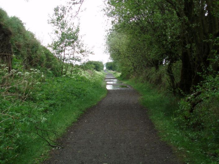
A wet High Peak Trail.
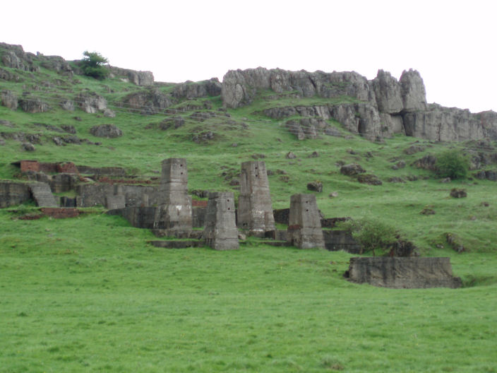
From the High Peak Trail Harboro Rocks with the remains of an unknown building in the foreground.

The summit trig on Harboro Rocks.
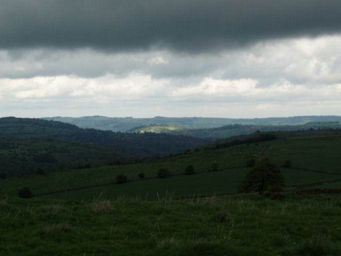
Riber Castle, which overlooks Matlock, just misses out on a patch of sunlight as a dark cloud looms over us.
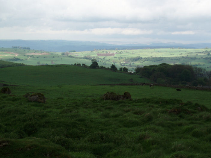
Looking north the Edges are lit up on the horizon.
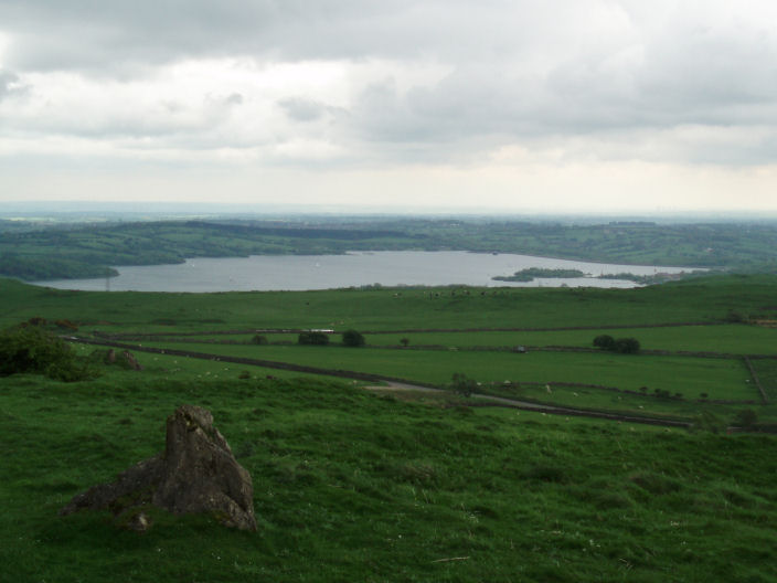
Carsington Reservoir.
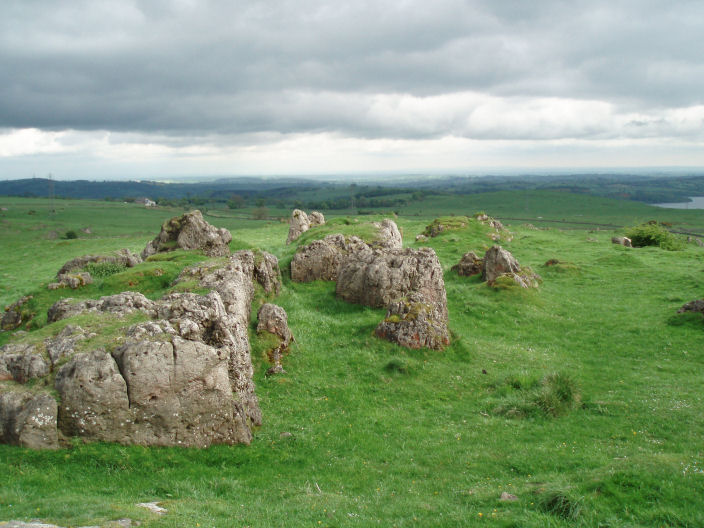
The view east towards Nottingham from Harboro Rocks.
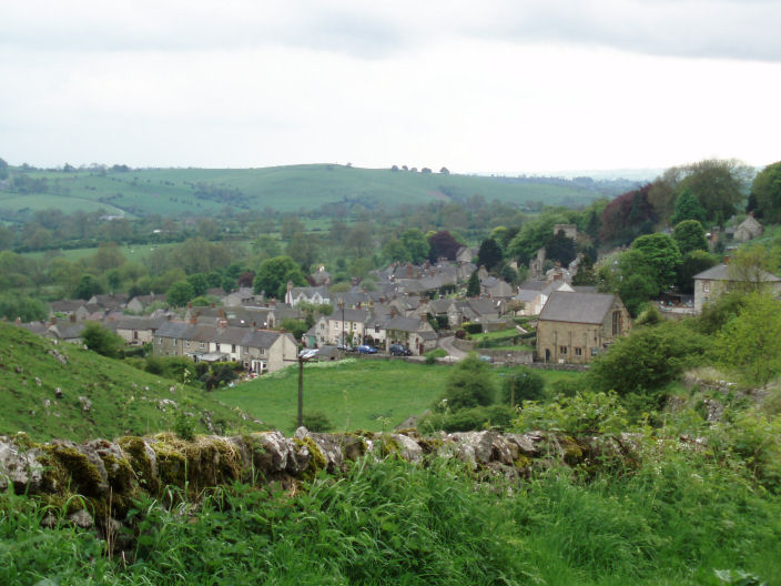
Brassington village, where we tried to have a drink after the walk but both pubs were shut.
All pictures copyright © Peak Walker 2006-2023